

Drone course for mining
About our
The Drone Course for Mining trains participants in the use of drones for topographic surveys, environmental monitoring, and resource assessment in the mining sector. It focuses on flight planning, data capture using specialized sensors (RGB, multispectral, LiDAR), and image processing to generate high-precision 3D models and maps. Applications such as volume control, geological hazard detection, and mining operations management are explored.
The course offers hands-on experience in drone operation, the use of data processing software, and the interpretation of results for decision-making. This course addresses current legislation on the use of drones in mining and prepares participants for roles such as drone pilot, geospatial data analyst, and drone inspection technician, improving efficiency and safety in mining operations.
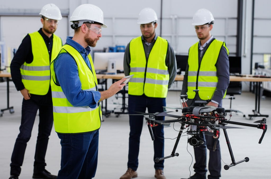
Drone course for mining
- Format: Hybrid
- Duration: 3 months
- Hours: 300 H
- Language: English / Spanish
- Registration date: 23-10-2026
- Start date: 12-12-2026
- Available places: 3
399 $
Competencies and results
What you will learn
1. Flight optimization and photogrammetry for mining mapping
- Plan and execute drone flights for the collection of geospatial data in mining environments.
- Configure and optimize flight parameters (altitude, overlap, speed) to obtain the best image and data quality.
- Understand the principles of photogrammetry and its application in the generation of high-precision 3D models.
- Process the captured images to create orthomosaics, digital elevation models (DEMs), and digital surface models (DSMs).
- Use specialized software for the analysis of the data obtained and the creation of thematic maps for mine management.
- Identify and quantify relevant features on the ground, such as material volumes, earthworks, and changes in vegetation.
- Apply optimization techniques to improve flight efficiency and reduce operating costs.
- Interpret the results obtained and generate technical reports with accurate and useful information for decision-making.
Become familiar with the legislation and regulations applicable to the use of drones in mining.
Learn to integrate the generated data with geographic information systems (GIS) and other mine management tools.
2. Data analysis and aerial mapping applied to mining
- Identification and processing of geospatial data from drones and remote sensors.
- Application of aerial mapping techniques to generate 3D models of the terrain and mine surface.
- Data analysis for anomaly detection, mine planning, and efficient resource management.
- Use of specialized data analysis and mapping software for mining, such as GIS and image processing tools.
- Interpretation of results and preparation of technical reports with recommendations for optimizing mining operations.
- Integration of data from different sources (e.g., topography, geology, geochemistry) for a comprehensive view of the deposit.
- Application of remote sensing techniques for environmental monitoring and risk management in mining operations.
- Development of skills in communicating results to multidisciplinary teams and decision-making data-driven decisions.
3. Comprehensive user-oriented design and validation (from modeling to manufacturing)
You will learn to integrate the entire product development process, from initial model conception to final validation, applying user-centered methodologies. You will develop skills in parametric design, ergonomics, simulation, sustainable materials, 3D visualization, and manufacturing management, ensuring efficient, safe solutions that meet current industry standards.
1. **Risk assessment and planning of aerial operations in mining environments**
1. **Risk Assessment and Planning of Air Operations in Mining Environments**
- Identify and assess the specific risks associated with air operations in mining environments, including geographical hazards, adverse weather conditions, and the presence of obstacles.
- Develop air operations planning strategies that minimize the identified risks, considering the selection of optimal routes, altitudes, and schedules.
- Apply risk analysis techniques to assess the probability and impact of potential incidents and accidents in air operations.
- Implement risk mitigation measures, such as the use of specialized safety equipment, personnel training, and the establishment of communication and emergency response protocols.
- Understand the regulations and standards applicable to air operations in mining environments, ensuring compliance with legal and safety requirements.
- Analyze the impact of mining infrastructure on air operations, including
- Evaluate the presence of towers, cables, and other obstacles.
- Use simulation and modeling tools to predict aircraft behavior in mining environments and optimize operations planning.
- Develop contingency plans to respond to emergency situations, such as equipment failures, extreme weather conditions, and accidents.
- Apply operational safety management techniques to continuously improve the safety of air operations in mining environments.
- Evaluate and select the most suitable equipment and technologies for air operations in mining environments, including aircraft, navigation systems, and communication systems.
5. **Management and analysis of geospatial data for mining optimization with drones**
5. **Management and Analysis of Geospatial Data for Mining Optimization with Drones**
Fundamentals of remote sensing and geographic information systems (GIS) applied to mining.
Operating principles and types of drones for geospatial data capture.
Planning and execution of drone flights for data acquisition: photogrammetry, lidar, multispectral, and hyperspectral.
Processing of geospatial data: orthomosaics, digital elevation models (DEMs), digital surface models (DSMs), and point clouds.
Analysis of geospatial data for the identification of areas of mining interest: anomaly detection, geological mapping, slope stability analysis, and volume evaluation.
Integration of geospatial data with other sources of mining information: drilling, geochemical, and geophysical data.
Optimization of mining processes: mine planning, volume control, waste management, and environmental monitoring.
Legislation and regulations on the use of drones in mining.
Case studies and practical examples of the application of drones and geospatial data in mining.
6. **Structural analysis and simulation of mining scenarios with drones**
6. **Structural Analysis and Simulation of Mining Scenarios with Drones**
Master the analysis of loads and stresses in drone structures.
Apply numerical simulation techniques (FEA) to evaluate structural integrity.
Identify and evaluate critical failure modes in mining scenarios, such as impacts and vibrations.
Understand and model the behavior of materials used in drones, including composites and metals.
Analyze the structural response to extreme environmental conditions, such as temperature and humidity.
Evaluate the stability and maneuverability of drones in mining environments.
Use specialized software for the structural analysis and simulation of drones.
Design and optimize drone structures to maximize strength and durability.
Interpret simulation results and perform sensitivity analysis.
Apply the acquired knowledge to real-world case studies in the mining industry.
Who this program is for:
Drone course for mining
- Mining engineers, geologists, surveyors, and mining professionals in general.
- Drone operators with experience in the mining sector who wish to improve their skills.
- Individuals interested in applying drone technology to optimize mining processes.
- Professionals seeking new job opportunities in the fields of mining and drone technology.
- Standards-driven curriculum: you will work with CS-27/CS-29, DO-160, DO-178C/DO-254, ARP4754A/ARP4761, ADS-33E-PRF from the first module.
- Accreditable laboratories (EN ISO/IEC 17025) with rotor bench, EMC/Lightning pre-compliance, HIL/SIL, vibrations/acoustics.
- Evidence-oriented TFM: safety case, test plan, compliance dossierand operational limits.
- Mentored by industry: teachers with experience in rotorcraft, tiltrotor, eVTOL/UAM and flight test.
- Flexible modality (hybrid/online), international cohorts and support from SEIUM Career Services.
- Ethics and security: safety-by-design approach, cyber-OT, DIH and compliance as pillars.
1.1 Planning efficient flight routes for mining.
1.2 Selecting and configuring drones for mining photogrammetry.
1.3 Principles of photogrammetry and 3D model generation.
1.4 Quality control of photogrammetric data.
1.5 Image processing and map generation software.
1.6 Optimizing image coverage and overlap.
1.7 Adjusting camera parameters and calibration.
1.8 Generating orthomosaics and digital elevation models (DEMs).
1.9 Analyzing the precision and accuracy of the generated models.
1.10 Practical applications of photogrammetry in mining: volume estimation, risk identification.
2.2 Fundamentals of Aerial Mapping: Principles and Applications in Mining
2.2 Data Acquisition with Drones: Flight Planning and Execution
2.3 Image Processing: Orthomosaics, Digital Terrain Models (DTMs), and Digital Surface Models (DSMs)
2.4 Geospatial Data Analysis: Specialized Tools and Software
2.5 Thematic Map Generation: Interpretation and Visualization of Results
2.6 Applications of Aerial Mapping: Material Volume Estimation, Slope Stability Analysis
2.7 Change Analysis: Movement Detection and Progress Monitoring
2.8 Data Integration: Combining Drone Information with Other Sources
2.9 Case Studies: Practical Examples of Aerial Mapping in Mining
2.20 Presenting Results: Effective Communication of Findings and Conclusions
3.3 Types of Drones and Sensors for Mining Inspection
3.2 Planning Inspection Flights: Routes and Coverage
3.3 Data Capture Techniques: Photography, Video, and LiDAR
3.4 Remote Visual Inspection: Image and Video Analysis
3.5 Detection of Anomalies and Structural Failures
3.6 Safety Inspection: Risk Assessment and Regulatory Compliance
3.7 Preventive and Predictive Maintenance with Drones
3.8 Inspection Data Analysis: Software and Tools
3.9 Inspection Reports and Documentation
3.30 Case Studies: Practical Examples of Drone Inspection in Mining
4.4 Aeronautical legislation and specific regulations for drone operations in mining
4.2 Risk assessment: hazard identification and analysis in mining environments
4.3 Planning safe and efficient flight routes and operations
4.4 Human factors and fatigue management in drone operations
4.5 Safety protocols and emergency procedures in mining
4.6 Designing flight plans considering obstacles and environmental conditions
4.7 Analysis of drone system vulnerability to failures
4.8 Risk mitigation measures: air traffic control and communications
4.9 Case studies: practical examples of risk planning and management
4.40 Documentation and records: regulatory compliance and safety audits
5.5 Introduction to photogrammetry concepts and their application in mining.
5.5 Sensors and image capture systems for aerial mapping.
5.3 Flight planning and quality control of photogrammetric data.
5.4 Image processing and 3D model generation.
5.5 Applications of photogrammetry in mining mapping.
5.6 Case studies in the optimization of mining operations.
5.7 Specialized software for photogrammetry in mining.
5.8 Workflow optimization for efficiency and accuracy.
5.5 Relevant geospatial data sources for mining.
5.5 Data analysis methods: LiDAR, orthomosaics, digital elevation models (DEMs).
5.3 Mapping and data visualization for decision-making.
5.4 Applications of aerial mapping in mine planning. 5.5 Use of GIS software for data analysis and visualization.
5.6 Interpretation of results and generation of technical reports.
5.7 Integration of geospatial data with other information systems.
5.8 Monitoring of changes and detection of anomalies in mining environments.
3.5 Current legislation and regulations for the use of drones in mining.
3.5 Visual and thermographic inspection techniques with drones.
3.3 Risk detection and evaluation of safety conditions.
3.4 Safety procedures in drone operations.
3.5 Inspection of mining infrastructure: access roads, pits, waste dumps.
3.6 Management of inspection data and generation of reports.
3.7 Maintenance and calibration of drones and equipment.
3.8 Case studies of inspections and safety in mining.
4.5 Identification and evaluation of risks associated with drone operations. 4.5 Operational risk analysis in mining environments.
4.3 Planning safe and efficient air operations.
4.4 Development of risk matrices and mitigation plans.
4.5 Emergency and incident response protocols.
4.6 Human factors and their impact on flight safety.
4.7 Implementation of risk control and monitoring measures.
4.8 Quality assurance and process control.
5.5 Geospatial data structure for mining optimization.
5.5 Management of spatial databases and geographic information systems.
5.3 Integration of drone data with other information sources.
5.4 Data analysis for the optimization of mining processes.
5.5 Applications of geostatistics in mining.
5.6 Report generation and results visualization.
5.7 Use of specialized software for geospatial data management. 5.8 Data storage and security strategies.
6.5 3D modeling of mining structures using drone data.
6.5 Stability and deformation analysis of slopes and structures.
6.3 Simulation of mining scenarios for planning.
6.4 Software and tools for structural analysis and simulation.
6.5 Slope stability assessment using drone data.
6.6 Design and simulation of blasting with drones.
6.7 Risk analysis and optimization of mining designs.
6.8 Generation of technical reports and presentations.
7.5 Identification and assessment of operational risks with drones.
7.5 Specific risk factors in mining environments.
7.3 Failure analysis and risk mitigation planning.
7.4 Emergency plans and incident response protocols.
7.5 Legal and regulatory aspects of operational safety. 7.6 Occupational Health and Safety Management Systems
7.7 Safety Audits and Risk Monitoring
7.8 Continuous Improvement and Best Practices in Safety
8.5 Integration of Drones into Short-, Medium-, and Long-Term Mine Planning
8.5 Drones in the Exploration and Deposit Evaluation Phase
8.3 Use of Drones in Production Control and Monitoring
8.4 Real-Time Monitoring of Mining Operations
8.5 Optimization of Logistics and Transportation in Mining
8.6 Implementation of Drones in Mining Information Management
8.7 Success Stories and Best Practices in the Mining Industry
8.8 Future Trends and New Applications of Drones in Mining
6.6 Fundamentals of Structural Modeling Applied to Drone Mining
6.2 Sensors and Platforms for Structural Analysis: Drones and Complementary Equipment
6.3 High-Resolution Data Acquisition for 3D Modeling
6.4 Data Processing: Specialized Software and Workflows
6.5 Stability and Deformation Analysis of Mining Structures
6.6 Scenario Simulation: Blasting, Earthworks, and Geological Changes
6.7 Risk Modeling and Failure Prediction in Mining Environments
6.8 Application of Artificial Intelligence in Structural Analysis with Drones
6.9 Integration of Structural Models into Mine Planning
6.0 Case Studies: Practical Examples of Modeling and Simulation in Mining
- Hands-on methodology: test-before-you-trust, design reviews, failure analysis, compliance evidence.
- Software (depending on licenses/partners): MATLAB/Simulink, Python (NumPy/SciPy), OpenVSP, SU2/OpenFOAM, Nastran/Abaqus, AMESim/Modelica, acoustics tools, planning toolchains DO-178C.
- SEIUM Laboratories: scale rotor bench, vibrations/acoustics, EMC/Lightning pre-compliance, HIL/SIL for AFCS, data acquisition with strain gauging.
- Standards and compliance: EN 9100, 17025, ISO 27001, GDPR.
Capstone-type projects
- Mine Mapping: Photogrammetry, flight optimization, 3D modeling.
- Risk Analysis: Operational assessment, safety, flight planning.
- Geospatial Data: Management, analysis, mine optimization.
- Inspection and Safety: Advanced techniques, mining environments.
- Simulation and Analysis: Structural, mining scenarios.
- Efficient Mining Mapping: Advanced photogrammetry and flight optimization; geospatial data analysis.
- Safe Inspection: Advanced drone techniques for risk and safety assessment.
- Planning and Monitoring: Integration of drones for optimization and management of mining operations.
- 3D Mining Mapping: Advanced photogrammetry, flight optimization, digital models.
- Safety Inspection: Risk analysis, evaluation, and planning of drone operations.
- Geospatial Analysis: Data management, mine optimization, change detection.
- Simulation and Structures: Structural analysis, mine scenarios, operational risk assessment.
- Optimal Mine Mapping: Photogrammetry, geospatial data analysis, flight optimization.
- Air Safety: Risk assessment, operations planning, drone inspection.
- Mine Management: Structural analysis, scenario simulation, integration into planning.
Admissions, fees, and scholarships
- Profile: Background in Computer Engineering, Mathematics, Statistics, or related fields; practical experience in NLP and valued information retrieval systems.
- Documentation: Updated CV, academic transcript, SOP/statement of purpose, project examples or code (optional).
- Process: Application → Technical evaluation of profile and experience → Technical interview → Review of case studies → Final decision → Enrollment.
- Fees:
- Single payment: 10% discount.
- Payment in 3 installments: No fees; 30% upon registration + 2 equal monthly payments of the remaining 35%.
Monthly payment: available with a 7% commission on the total; annual review.
Scholarships: based on academic merit, financial need, and promoting inclusion; agreements with companies in the sector for partial or full scholarships.
See “Calendar & Calls for Applications,” “Scholarships & Grants,” and “Fees & Financing” in the SEIUM mega-menu.
Do you have any questions?
Our team is ready to help you. Contact us, and we will respond as soon as possible.
F. A. Q
Frequently asked questions
Yes, we have international certification
Yes: experimental models, real data, applied simulations, professional environments, real case studies.
It is not mandatory. We offer leveling tracks and tutoring.
Completely. It covers e-propulsion, integration, and emerging regulations (SC-VTOL).
Recommended. There are also internal challenges and consortiums.
Yes. Online/hybrid modality with planned labs and visa support (see “Visa & Residence”).