#VALUE!

1,750 $
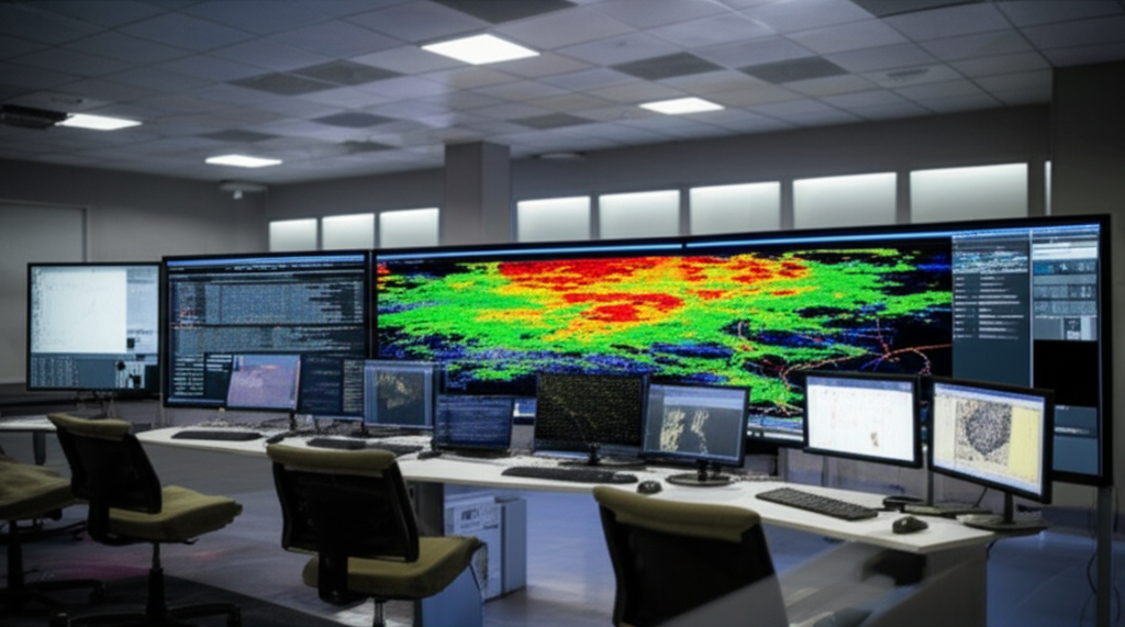
The Diploma in Map-Based Prediction and Hazard Hotspots focuses on the application of geospatial technologies and data analysis for the identification and prediction of risk zones, integrating remote sensing, GIS (Geographic Information Systems) and predictive modeling techniques. It focuses on the analysis of spatial and temporal data for the detection of hotspots and the creation of risk maps, using tools such as satellite imagery, meteorological data, and machine learning algorithms to improve decision-making in sectors such as disaster management, urban planning, and road safety. The diploma program provides practical knowledge in the use of GIS software, spatial analysis techniques, and data visualization for the creation of risk maps and predictive models, as well as in the interpretation of results for the implementation of mitigation and risk prevention strategies. This training prepares professionals for roles such as risk analysts, GIS specialists, disaster management consultants, and urban planners, strengthening the capacity to respond to hazardous events.
Target keywords (natural occurrences in the text): risk maps, hazard hotspots, risk prediction, remote sensing, GIS, spatial analysis, predictive modeling, disaster management, urban planning, road safety.
Out of stock



Reviews
There are no reviews yet.