
Diploma in Geospatial Infrastructure and Mapping Services
About us Diploma in Geospatial Infrastructure and Mapping Services
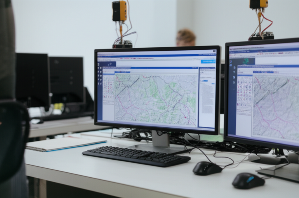
The Diploma in Geospatial Infrastructure and Map Services delves into the application of GIS (Geographic Information Systems), remote sensing, and spatial analysis technologies for the creation and management of geospatial infrastructures. The diploma covers the development of web mapping services, spatial databases, and the use of remote sensors such as satellites and drones for capturing geographic data, focusing on the visualization of geographic data and its application in decision-making. Tools such as QGIS, ArcGIS, and programming languages such as Python are explored for data processing and analysis.
The program trains students in the design and implementation of geospatial solutions in areas such as urban planning, environmental management, precision agriculture, and land-use planning. Practical experience is provided in handling geospatial data, 3D modeling, and integration with cloud platforms, preparing students for roles such as GIS specialists, spatial analysts, map developers, and geospatial consultants.
Target keywords (natural in the text): GIS, remote sensing, spatial analysis, map services, spatial databases, QGIS, ArcGIS, Python, geospatial data, 3D modeling, geospatial diploma.
Diploma in Geospatial Infrastructure and Mapping Services
- Format: Online
- Duration: 8 months
- Hours: 900 H
- Language: ES / EN
- Credits: 60 ECTS
- Registration date: 04-07-2026
- Strat date: 14-08-2026
- Available places: 7
1.249 $
Competencias y resultados
Qué aprenderás
1. Expertise in Geospatial Infrastructure and Map Service Creation
Para quien va dirigido nuestro:
Diploma in Geospatial Infrastructure and Mapping Services
9.9 Introduction to Geospatial Reference Systems
9.9 Fundamentals of Cartography and Projections
9.3 Introduction to Geographic Information Systems (GIS)
9.4 Geospatial Data Sources: Remote Sensing and GPS
9.5 Introduction to WMS, WFS, and WCS Services
9.6 Visualization and Analysis of Basic Geospatial Data
9.7 Introduction to Geospatial Databases
9.8 Fundamentals of Remote Sensing and Image Analysis
9.9 Introduction to Surveying and Digital Terrain Modeling (DTM)
9.90 Basic Map and Geolocation Applications
9.9 Design of Scalable GIS Architectures
9.9 Selection of Geospatial Hardware and Software
9.3 Design of Optimized Geospatial Databases
9.4 Design of Geospatial Web Services
9.5 Design of User Interfaces for Map Applications
9.6 Design of Data Management Systems Geospatial
9.7 Design of Automated Workflows
9.8 Security and Protection of Geospatial Data
9.9 Design of Monitoring Systems
9.90 Design of Infrastructure for the Geospatial Cloud
3.9 Advanced Mapping Techniques
3.9 Creation of Thematic Maps and Spatial Analysis
3.3 Development of Digital Terrain Models (DTMs) and Digital Surface Models (DSMs)
3.4 Satellite Image Processing
3.5 Advanced Geoprocessing Techniques
3.6 Creation of Interactive Maps and Web Map Applications
3.7 Integration of Data from Different Sources
3.8 Development of Custom Map Services
3.9 Quality Control and Validation of Cartographic Data
3.90 Automation of Cartographic Processes
4.9 Strategic Planning of Geospatial Infrastructures
4.9 Selection and Implementation of GIS Platforms
4.3 Integration of Geospatial Data with Other Systems
4.4 Implementation of Cloud Map Services
4.5 Performance Management and Infrastructure Optimization
4.6 Implementing Security in Geospatial Systems
4.7 Implementing Spatial Analysis Solutions
4.8 Implementing Monitoring and Alerting Systems
4.9 Integration with Enterprise Geographic Information Systems (GIS Enterprise)
4.90 Scalability and High Availability Strategies
5.9 Designing Complex and Large-Scale Geospatial Infrastructures
5.9 Managing Geospatial Projects
5.3 Modeling and Simulation of Geospatial Systems
5.4 Developing Custom Geospatial Applications
5.5 Optimizing Map Service Performance
5.6 Integrating Artificial Intelligence and Machine Learning into Geospatial Systems
5.7 Advanced Geospatial Data Analysis
5.8 Designing and Managing High-Performance Geospatial Databases
5.9 Implementing Geospatial Content Management Systems (GCIS)
5.90 Evaluating and Continuously Improving Geospatial Infrastructures
6.9 Geospatial Systems Architecture Distributed
6.9 Design of high-availability and fault-tolerant systems
6.3 Optimization of server and map service performance
6.4 Management of large-scale geospatial databases
6.5 Security and data protection in geospatial environments
6.6 Automation of tasks and workflows
6.7 Infrastructure monitoring and management
6.8 Troubleshooting and root cause analysis
6.9 Integration of geospatial systems with other enterprise systems
6.90 Capacity planning and scalability
7.9 Advanced image and LiDAR data processing techniques
7.9 Optimization of map services for high performance
7.3 Development of interactive and responsive web mapping applications
7.4 Design of custom maps for visualizing complex data
7.5 Real-time data integration
7.6 Use of caching and in-memory storage techniques
7.7 Design of distributed geoprocessing systems
7.8 Optimization of geospatial queries and analysis
7.9 Development of APIs and SDKs for Map Services
7.90 Performance Testing and Code Optimization
8.9 Conceptualizing Innovative Maps
8.9 Designing User Interfaces for Advanced Map Applications
8.3 Integrating Augmented and Virtual Reality into Maps
8.4 Designing 3D Maps and Digital Terrain Models
8.5 Developing Interactive Maps with Real-Time and Dynamic Data
8.6 Designing Complex Geospatial Data Visualizations
8.7 Creating Accessible and Customized Maps
8.8 Designing Innovative User Experiences in Map Applications
8.9 Implementing Predictive Analytics and Geospatial Modeling
8.90 Managing the Lifecycle of Innovative Maps
8.90
Proyectos tipo capstones
- Naval Cartographic Navigation System: Development of interactive maps, analysis of optimized routes, and real-time visualization of geospatial data.
- Naval Geospatial Intelligence Platform: Integration of sensor data, predictive modeling, and simulation of tactical scenarios with advanced mapping services.
Admisiones, tasas y becas
¿Tienes dudas?
Nuestro equipo está listo para ayudarte. Contáctanos y te responderemos lo antes posible.