#VALUE!
899 $
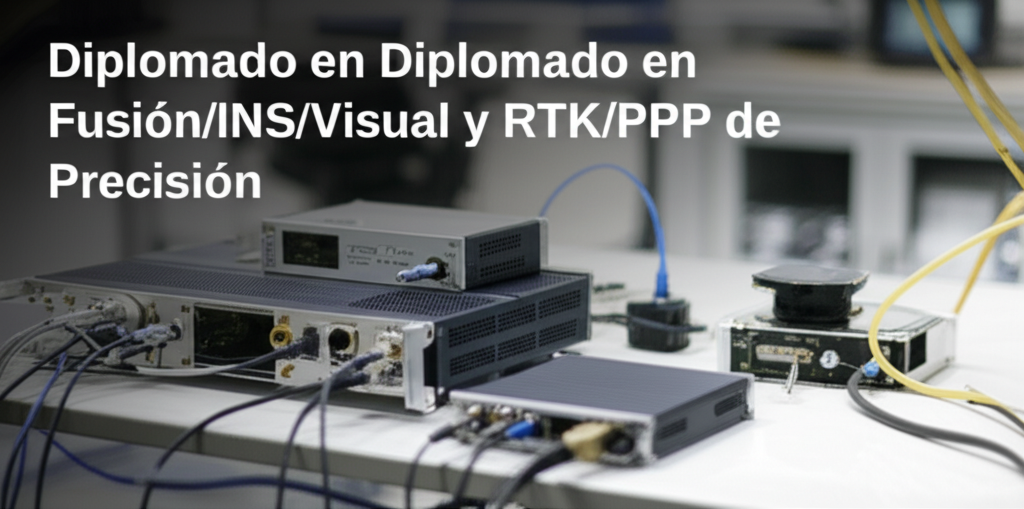
The Diploma in GNSS/INS/Visual and RTK/PPP Precision Fusion focuses on the integration of high-precision positioning systems, combining GNSS (GPS, GLONASS, Galileo, BeiDou), INS (Inertial Navigation System), and machine vision to achieve robust and accurate geolocation. It focuses on the use of RTK (Real-Time Kinematic) and PPP (Precise Point Positioning) to obtain centimeter-level accuracy results and its application in areas such as surveying, precision agriculture, and autonomous vehicles.
The program provides practical knowledge on the design and calibration of fusion systems, data analysis, and error correction, using specialized software tools and state-of-the-art equipment. Participants will learn to apply methodologies to improve navigation and mapping in challenging environments, including urban areas and zones with limited GNSS coverage, while adhering to geodesy and cartography standards. Applications to drones (UAVs) and SLAM (Simultaneous Localization and Mapping) systems will be explored. Target keywords (natural occurrences in the text): GNSS, INS, RTK, PPP, data fusion, precision positioning, surveying, autonomous vehicles, mapping, geodesy, drones, SLAM.
Out of stock


Reviews
There are no reviews yet.