#VALUE!
950 $
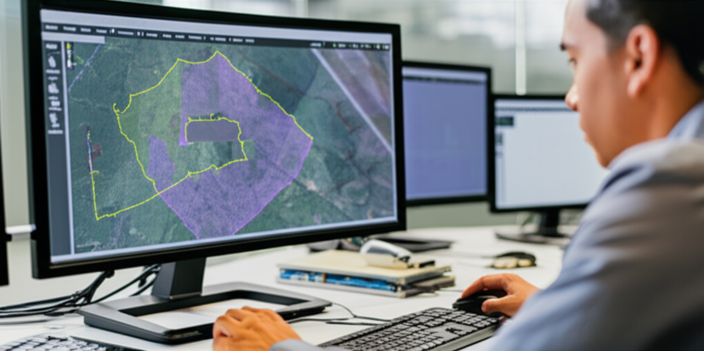
The Diploma in HD Map Production/QA and Change Detection provides specialized training in the creation and validation of high-definition (HD) maps and change detection. It explores image processing, remote sensing, and georeferencing methodologies for generating accurate maps and analyzing temporal changes in geographic environments, using tools such as GIS software and photogrammetry techniques. The training focuses on quality assurance (QA) of HD maps, covering everything from error detection to accuracy verification for applications in autonomous navigation, urban planning, and environmental management. The program includes hands-on experience with remote sensing, LiDAR data analysis, satellite imagery, and the application of machine learning algorithms for automated change detection. Participants will develop skills in managing geospatial databases and interpreting results to make informed decisions based on reliable geospatial information. This training prepares students for roles such as digital cartography specialists, geospatial data analysts, HD map QA, and GIS application developers, with career prospects in sectors such as technology, transportation, and the environment.
Target keywords (natural in the text): HD maps, change detection, image processing, remote sensing, georeferencing, GIS software, photogrammetry, QA, remote sensors, LiDAR, machine learning, geospatial data, digital cartography, GIS diploma.
Out of stock



Reviews
There are no reviews yet.